
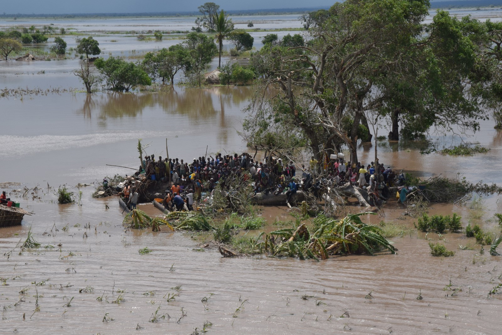
There are little disasters and big disasters. We try to respond to both. In the smaller disasters we deploy a ground coordinator. The 2013 floods on the Limpopo were like that and our trustee Clive Langmead went.
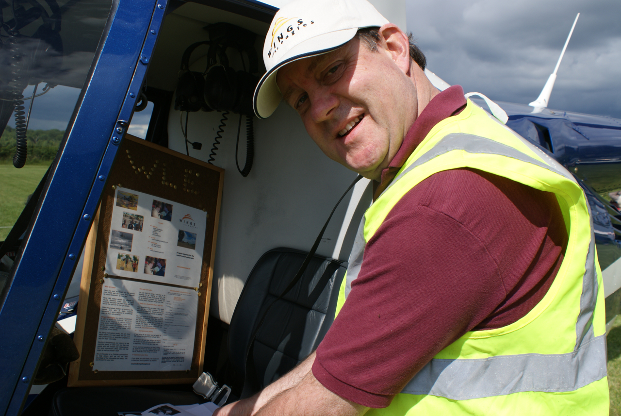
After his return to UK, Clive started to think! Its amazing what happens when we start to think. In this case, he thought about his experiences in coordinating responses to the Limpopo floods from the ground. And he realised that whilst the pilots had a eagles eye view, those on the ground did not. A profound insight because those on the ground do the planning and allocate the money! Well done Clive!
The DROP Logger idea is born
What was needed was a picture that puts the needy people, broken bridges and flooded hospitals on one map. A plot: a Disaster Relief Operational Plot if you like. The DROP bit of the title!
The plot could be built by all the pilots. They were flying over these needy spots and a bit of kit was needed to log what they saw and put it on a map. The Logger needed to be simple, but have an accurate position so that other people could go back.
It’s OK to say “the people near the village need help, they’re surrounded by water about 100 meters north of the centre of the village.” But how much better to give them an accurate position that fits into the navigation computer of the aircraft.
So the Disaster Relief Operational Plot Logger or DROP Logger idea was born.
Idea to reality
Clive then worked pretty much single-handedly to engage others in making the DROP Logger idea a reality. It’s amazing what individuals can do. He found an IT company near his home – Helyx SIS. And some of their staff were happy to work on the development, to support Wings Like Eagles pro bono – without charge! Amazing. The power of a good idea!
So the kit was developed, and Helyx is a partner to the world wide mapping enterprise known as ESRI. ESRI has the maps for the plot, and HELYX built the software to link the satellite navigation position, to a simple interface for the pilot to use on a touch screen on his knee pad, and then be able to display the positions on the maps.
And the DROP Logger was born!


0