i Pad App
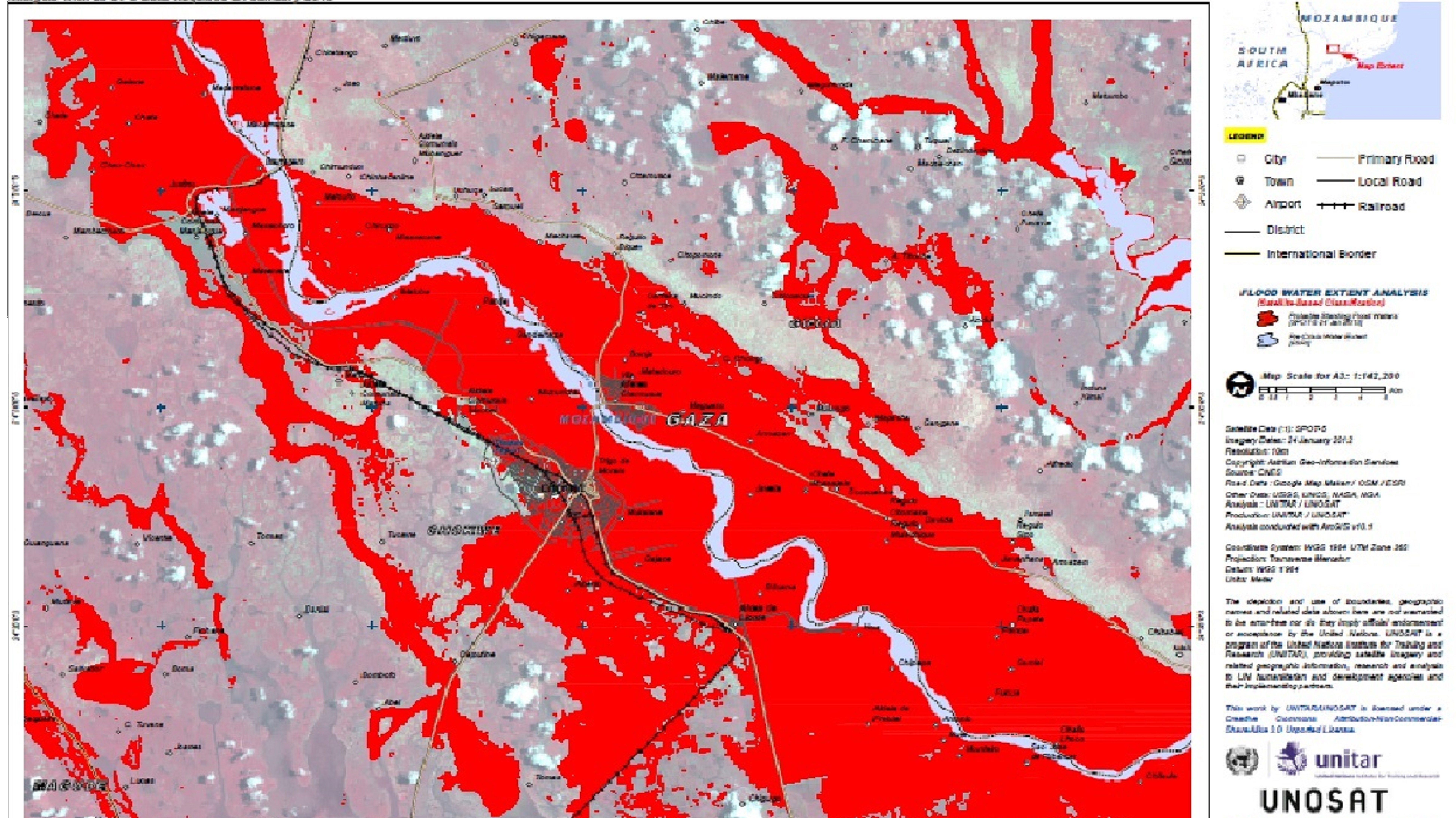
UN supplied satellite imagery
A new i-Pad App was a lesson from the 2013 floods. Wings Like Eagles wants to improve disaster response. We needed a safer and better way of mapping disasters from a single seat helicopter. So we worked together with HELYX SIS to design one.
Why an i-Pad App?
Disaster mapping is hugely important. All responders need to know where the problems are. Some of that comes by satellite. That gives a great overview of the problem. And satellite operators are very generous.
Once on the ground, we need more detail. We need to know where the life saving problems are. We need to know where people need aid, so we can get the right stuff to the right people. We need to know which bridges are damaged.
In 2013, the disaster incident locations could only be collected by pen and paper. This meant the pilot had to have his eyes inside the cockpit instead of looking out. We needed a safer way. We also needed a way of doing it quickly and more accurately.
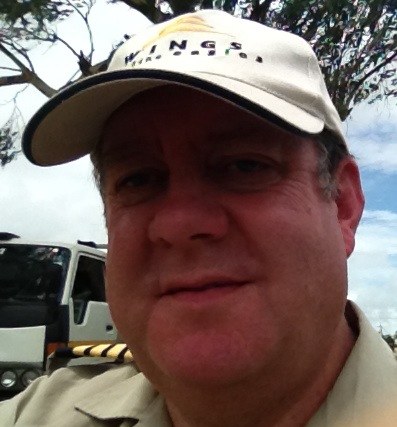
Trustee Clive Langmead
The data also has to be passed on. Passing it to the next mercy flight took time. It was on paper. Then the pilot had to load the way points into his GPS system. Passing it to the disaster relief authorities also took time.
Dr Anneley McMillian of HELYX SIS
However, all these authorities have laptops and i-Pad Apps.
So what next?
Well, when they were told the problem HELYX SIS felt a simple i-Pad App could make the process easier. Working together Trustee Clive Langmead and Dr Annely McMillan developed a new language neutral menu. The i-Pad App then needed to be tested.
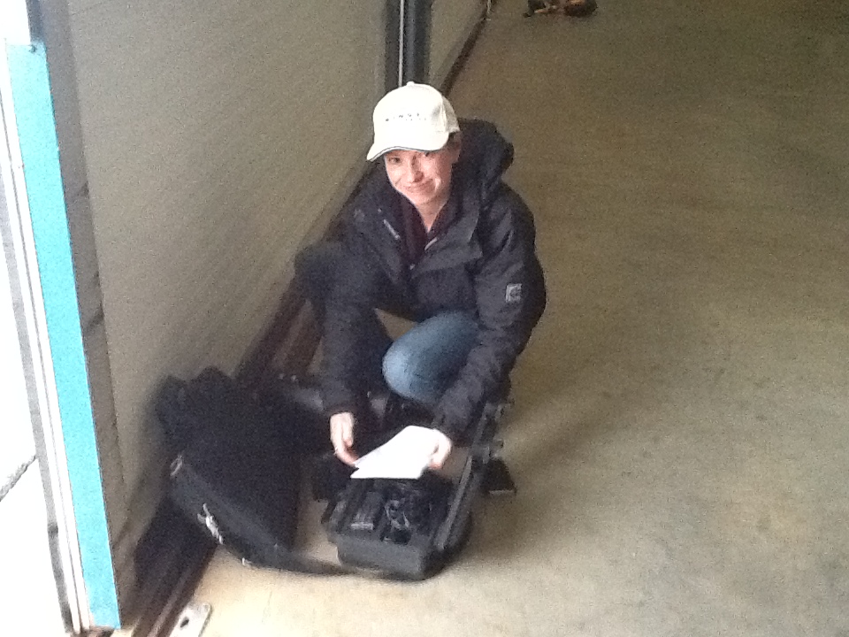
So Clive Langmead arranged a flight test with HeliFlight.
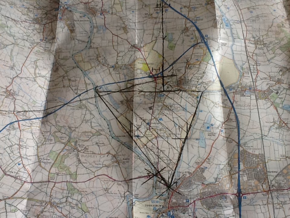
Simulated flooded area
They used a simulated flooded area in Worcestershire. They they flew around it in a helicopter. The new i-Pad App was used to map the flooded area and put in the significant problems. Great!
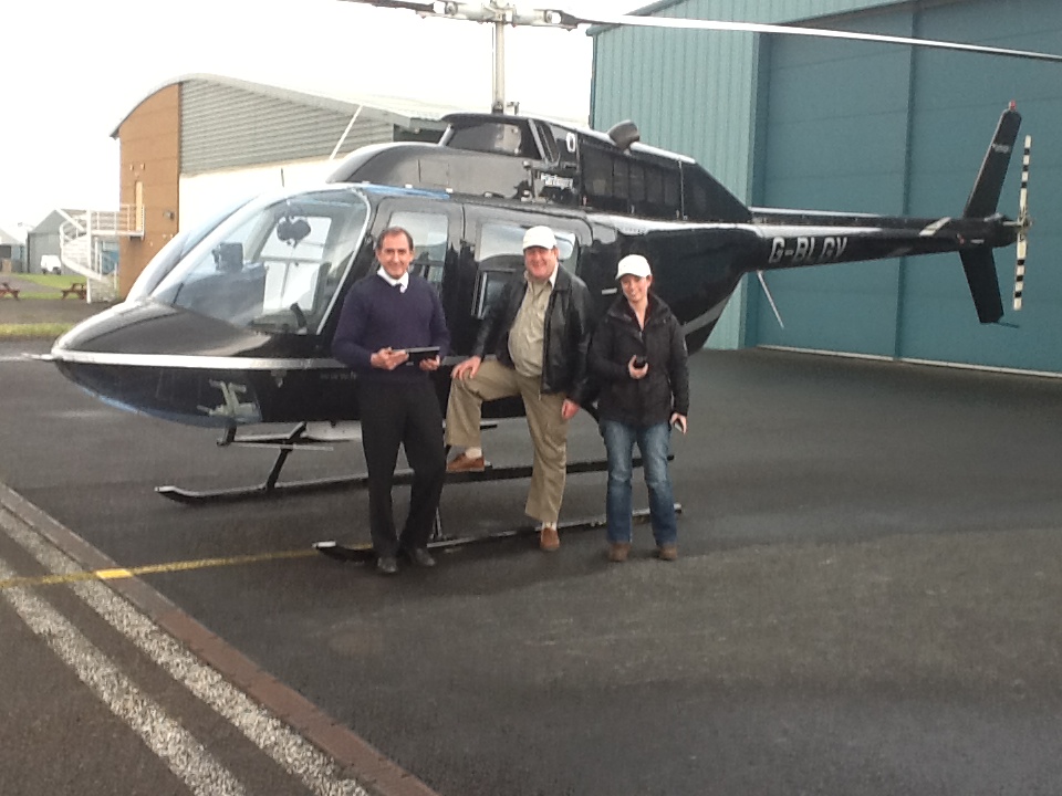
The test flight team
Then they could compare the map with the i-Pad Picture. They also could check how easy it was to use by the pilot.
All the lessons could then be pulled together. The final version could then developed. A great piece of teamwork. With HELYX SIS, LangMedia and others donating. Thank you.
Want to know more? Why not contact us?


0